- Features
- Models
- Videos
- Downloads
- Applications
- Related Products
- Contact
- Back To Spectroscopy
- Back To Optics
- Back To Hyperspectral
- Back To Cameras
- Back To X-Ray
- Back To Light Measurement
- Back To Characterisation
- Back To Electron Microscopy
- Back To Magnetometry
- Back To Ellipsometers
- Back To Cryogenics
- Back To Lake Shore
Specim AFX Series Hyperspectral Imaging Cameras
Specim AFX series is an airborne hyperspectral solution based on the successful Specim FX series
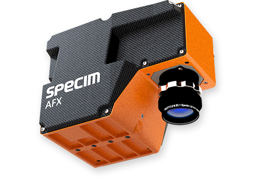
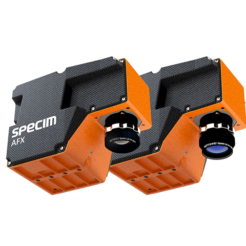
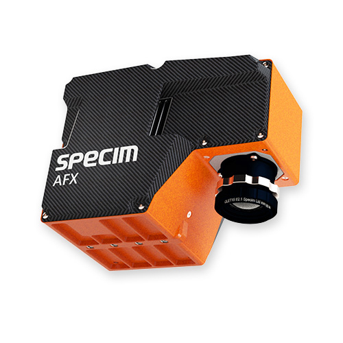
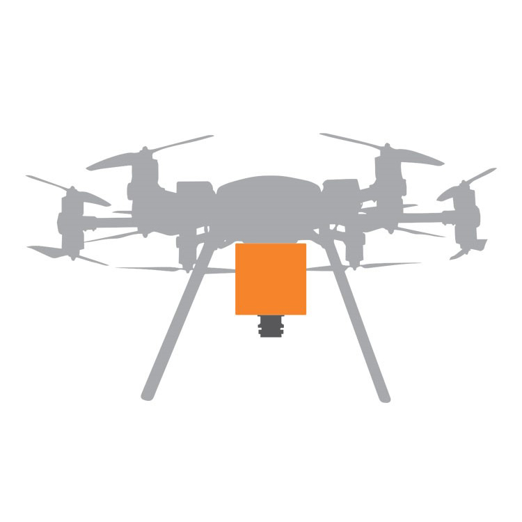
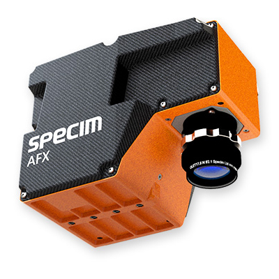
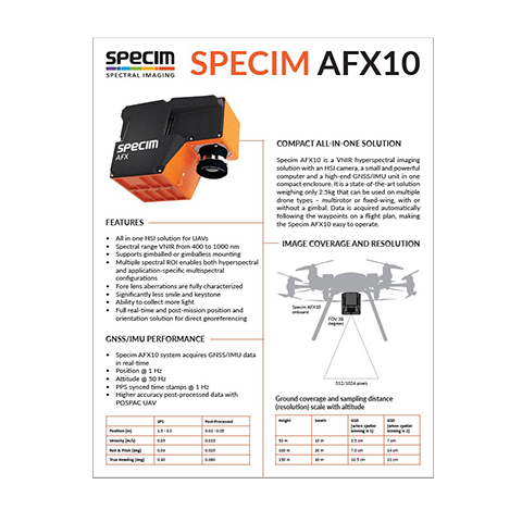
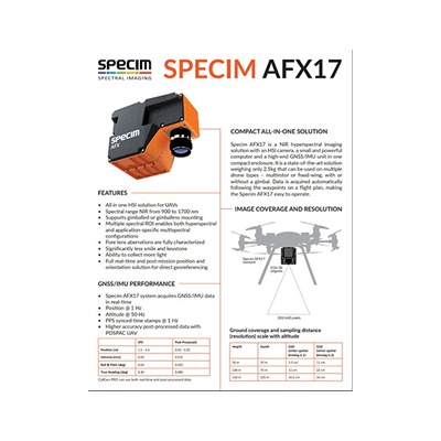
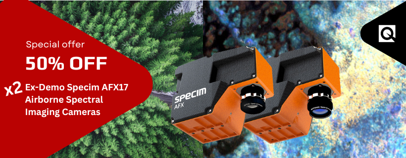
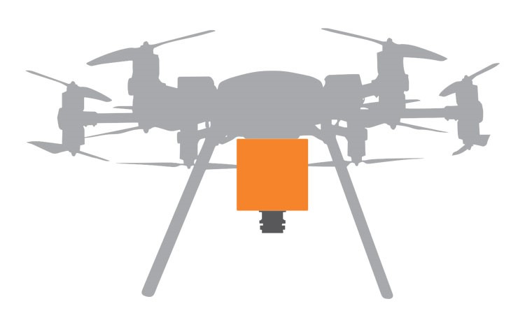
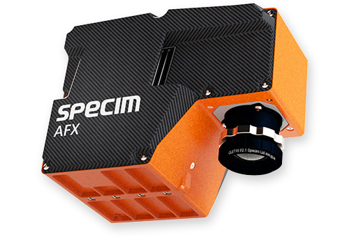
The Specim AFX series is an airborne spectral imaging solution based on our successful Specim FX series. It is a compact all-in-one device with an HSI camera, powerful computer, and a high-end GNSS/IMU unit.Weighing only 2.5kg, Specim AFX can be used on multiple drone types – multirotor or fixed-wing, with or without a gimbal.
EASY TO MOUNT AND OPERATE
All-in-one casing means that Specim AFX has minimal cabling, which makes it simple to mount, and the fully automated data acquisition following the mission flight plan allows easy operation.
Spectral imaging allows identifying one material from another simply by measuring the reflectance of light – without needing to take a sample. By mounting a spectral camera on a drone, it can be used for example in looking for contamination and determining the water quality, estimating the fertilising need in agriculture, identifying vegetation species, or studying wildlife population from the air.
HIGH QUALITY IN SMALL SIZE
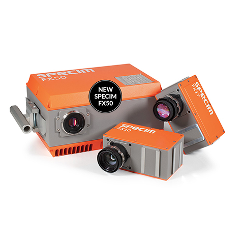
AFX is based on the FX product family, which is a high-quality hyperspectral camera series. This new product brings the benefits of the FX series to the airborne use. Thanks to F1.7 aperture, Specim AFX uses the available light efficiently. That combined with the image enhancement algorithm results in the high quality of the collected data.
FEATURES:
- VNIR (400-1000 nm)
- High data quality
- Compact and lightweight all-in-one solution
- Easy to mount and operate
- Direct georeferencing available
- Efficient use of light together with image enhancement algorithm results in high data quality
- Fully automated data acquisition following the mission flight plan
- Freely selectable spectral bands allow focusing on application relevant data
- All in one casing, minimal cabling
- Fits various UAVs: multirotor or fixed-wing, with or without gimbal
MODELS
SPECIM AFX10
VNIR (400-1000 nm)
Specim AFX10 is best suited for:
- vegetation classification and species identification
- water quality analysis
- wetlands monitoring
- wildlife population study
SPECIM AFX17
NIR (900-1700 nm)
Specim AFX17 is a VNIR hyperspectral imaging solution with an HSI camera, a small and powerful computer and a high-end GNSS/IMU unit in one compact enclosure that can be installed on multiple drone types.
Specim AFX17 is best suited for:
- moisture, nutrition and fertiliser analysis from the soil
- advanced vegetation species identification
- plant health and stress studies
- forest fires detection
