


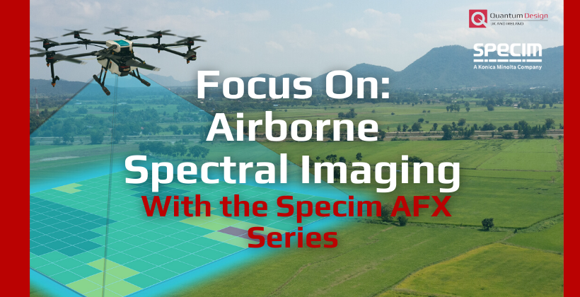
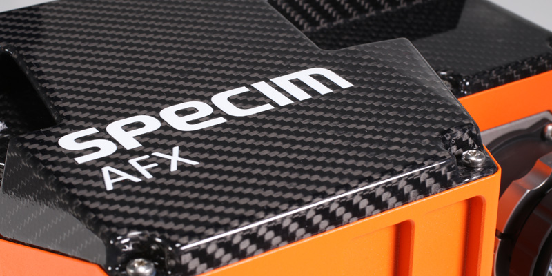
With the Specim AFX Series
Specim AFX series is an airborne spectral imaging solution based on the successful Specim FX series. It is a compact all-in-one device with an HSI camera, powerful computer, and a high-end GNSS/IMU unit.
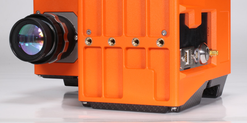
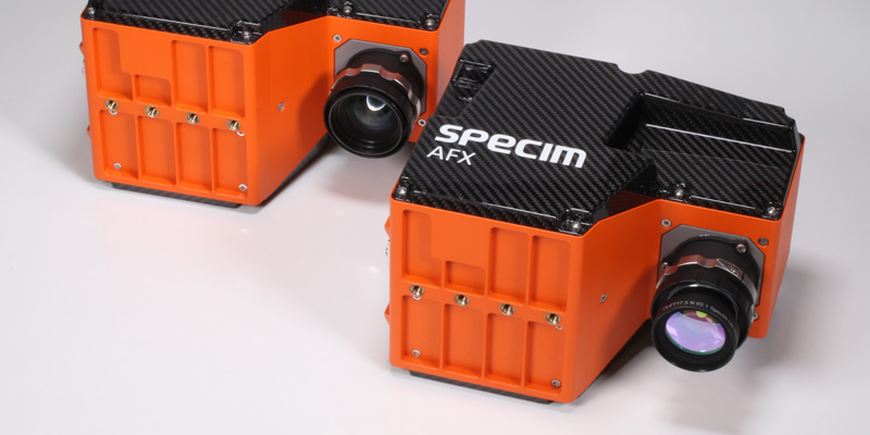
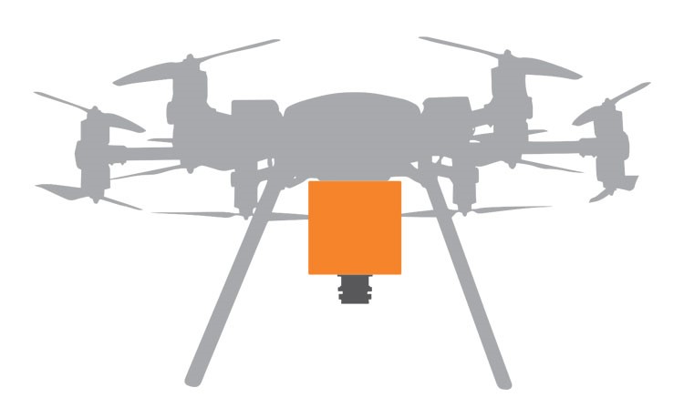
Weighing just over 2 kg, Specim AFX can be used on multiple drone types – multirotor or fixed-wing, with or without a gimbal. AFX series capabilities range from full hyperspectral to flexible application-specific multispectral.
EASY TO MOUNT AND OPERATE
All-in-one casing means that Specim AFX has minimal cabling, which makes it simple to mount, and the fully automated data acquisition following the mission flight plan allows easy operation.
COMPACT YET POWERFUL
Specim AFX has everything in a compact enclosure, but a powerful onboard computer enables effective imaging and data pre-processing solution with reserve for future feature additions.
HIGH-QUALITY DATA
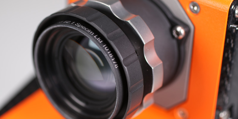
Thanks to large F1.7 aperture, Specim AFX uses the available light efficiently. Combined with the built-in image enhancement algorithm, results in the high quality of the collected data.
FOCUS ON WHAT IS RELEVANT
The multiple region of interest (MROI) feature allows focusing on the relevant areas, which reduces the amount of recorded data. The MROI areas can be flexibly selected and even changed rapidly, based on the application needs. No need to get stuck on a few fixed multispectral bands suitable only for some limited applications.
APPLICATIONS
- Water quality
- Contamination
- Coastal zones
- Ocean colours
- Precision Agriculture
- Nutrients
- Drought
- Fertilisers
- Crop yield
- Vegetation
- Classification
- Species identification
- Mapping
- Insects
- Disease
- Wetlands Monitoring
- Wildlife Population Study
- Environmental Planning and Disaster Mitigation
- Forest Fires
- Defence, Security, Law Enforcement
Webinar: Introducing the Specim AFX

FAQs Airborne Hyperspectral Imaging
What is the purpose of airborne hyperspectral imaging?
Any material that is detectable either directly or indirectly based on its spectral features, can be mapped with an airborne hyperspectral camera. The point of airborne hyperspectral imaging is in creating a material map of the study area, land or water surface. Taking the sensor in the air gives you a vantage point to search these materials, plant species etc. from the much larger area than what is immediately visible on the ground – easily hundreds of square kilometres at the time, only limited by altitude and time spent flying. While airborne sensors usually create detailed geometric models (LiDAR) or imagery for human interpretation (multispectral cameras, SAR), hyperspectral sensors create data which is analysed into a thematic map of material features. Imagine that – you can be kilometres up in the air, speeding hundreds of kilometres per hour, and still create an exact map of materials, minerals or plant species at your survey area. No other passive imaging technology can do that!
How does it differ from multispectral airborne imaging?
“Multispectral” is one of the most confused and misused umbrella terms used in remote sensing. Multispectral imagers typically have 3-5 broad bands with gaps in between, depending on which applications the multispectral imager is built for. Let’s remember that even normal digital camera found from every smartphone, is multispectral imager with 3 spectral bands. Thus, multispectral can mean almost anything from general consumer camera to an application specific imager.
By definition, hyperspectral imaging collects hundreds of contiguous, narrow spectral bands. This means that there are no “gaps” between the bands. Hyperspectral means far more, more narrow bands than multispectral imaging.
Resulting differences for a user are threefold. With hyperspectral imager, you can differentiate material (minerals, plants etc) of much smaller spectral difference, thanks to much higher spectral fidelity. To put it in layman’s terms, with multispectral imager you can – for example – tell if the area has vegetation or not. With hyperspectral imager, you can tell which species the vegetation consists of, and moreover, if those plants are suffering a stress, and at best what is the cause of the stress. Multispectral imaging may be enough to tell asphalt apart from gravel or concrete, but in order to tell how old the asphalt is and what is its material composition, you need more and narrower bands provided by the hyperspectral imager. Only hyperspectral imager can tell apart minerals that are important for geologists, but which exhibit so minute spectral differences that multispectral imager is unable to tell them apart. There are many of such minerals!
Multispectral imager is always built for a particular application, whereas hyperspectral imager is application agnostic; it collects all the spectral information from the target and so doing serves all possible applications, only limited by the skill of the analyst. This means you can come back to the collected data and turn it into an application – or several applications – you were not tasked with originally. As long as the data is collected well, it can be turned into dozens of different applications. If organization is collecting hyperspectral data for a client, it is wise to price full rights reflecting the future potential of the dataset! Remember that every time you collect a snapshot of the world at that moment, you constitute a starting point for a temporal study.
Multispectral image is typically a photo that is interpreted by the human eye. Hyperspectral image quantifiable set of data instead of just an image. While the end result may still be an image like a thematic map or a detection alert in operators screen, it is an end result of an algorithm based on characterised data. And it depicts phenomenon that would not be detectable with less or broader spectral bands. Hyperspectral data is more empirical “big data”. Whether it should be considered sparse or dense, depends on the viewpoint.
Are pixels true-orthorectified?
Yes. When data is georeferenced using DSM (see glossary in the end of the text), Specim’s CaliGeoPRO preprocessing software is computing the exact distance between the sensor – the nodal point of central projection – and every image pixel. The end result is an image where parallax errors due to elevation differences are removed, i.e. pixels are shifted to their correct locations so that resulting image can be used as a map where directions, distances and geolocations at each pixel are correct. If DSM is not available, DEM/DTM can be used to remove the parallax errors of the ground surface. This would of course still leave parallax errors to everything on top of the surface, but it is still better than using flat earth model only, especially over rolling terrain.
SPECIM AFX10
VNIR (400 – 1000 nm)
Specim AFX10 is a VNIR hyperspectral imaging solution with an HSI camera, a small and powerful computer and a high-end GNSS/IMU unit in one compact enclosure that can be installed on multiple drone types.

Specim AFX10 is best suited for:
- Vegetation classification and species identification
- Water quality analysis
- Wetlands monitoring
- Wildlife population study
LEARN MORE AND ASK FOR A QUOTE
SPECIM AFX17
NIR (900 – 1700 nm)
Specim AFX17 is a NIR hyperspectral imaging solution with an HSI camera, a small and powerful computer and a high-end GNSS/IMU unit in one compact enclosure that can be installed on multiple drone types.

Specim AFX17 is best suited for:
- Moisture, nutrition and fertilizer analysis from the soil
- Advanced vegetation species identification
- Plant health and stress studies
- Forest fires detection


