- Features
- Models
- Videos
- Downloads
- Applications
- Related Products
- Contact
- Back To Spectroscopy
- Back To Optics
- Back To Hyperspectral
- Back To Cameras
- Back To X-Ray
- Back To Light Measurement
- Back To Characterisation
- Back To Electron Microscopy
- Back To Magnetometry
- Back To Ellipsometers
- Back To Cryogenics
- Back To Lake Shore
Specim Aisa Series Hyperspectral Imaging Cameras
Hyperspectral Imaging Cameras for Airborne and Defence
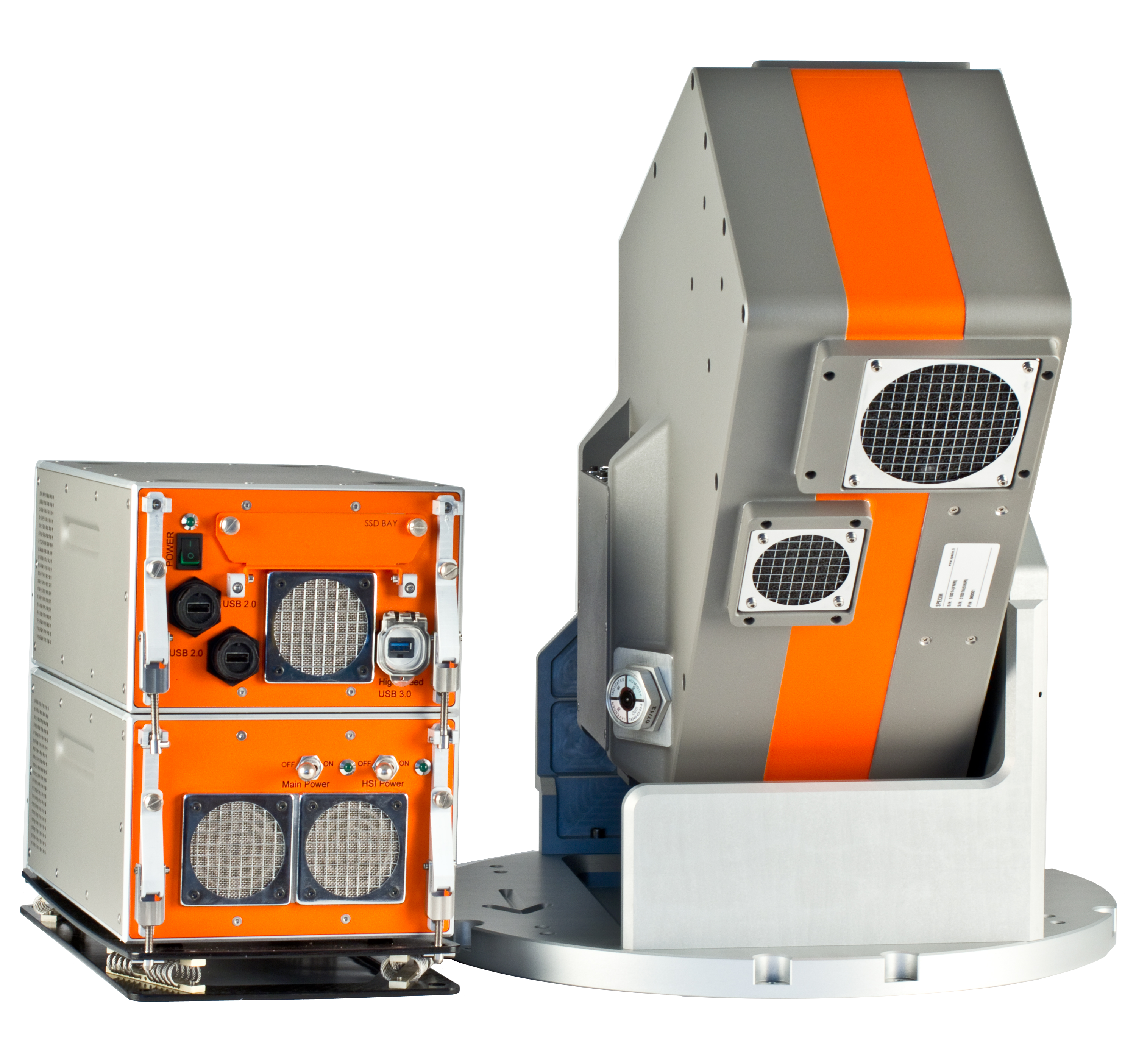
The Aisa hyperspectral imaging cameras from Specim are specifically designed for airborne applications. Specim offer a number of systems depending (primarily) on the required spectral range. Depending on the specific aircraft, the cameras can also be installed in commonly used gryo-stabilised mounts. Additionally, the LWIR system (aisaOWL) is provided with a dual black body calibration unit
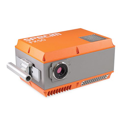
The AisaFENIX system is also typically used in other non-airborne lab or field based applications (such as in the sisuROCK drill core scanning system). The FENIX camera spans a spectral range of 400-2500 nm and crucially uses common input optics to enable co-registration of the data from the two detectors within the camera.
FEATURES
- VNIR, SWIR and LWIR cameras
- Remote control with LUMO ground station software
- CaliGeoPro software for radiometric and geometric data pre-processing
- Compact size for installation in standard gyro-stabilised mounts, as well as turrets and medium-sized UAVs
- Supports 4 different GNSS/IMU systems
Models
AisaFENIX delivers the highest quality hyperspectral data available in VNIR, NIR, and SWIR wavelengths (380 nm – 2 500 nm) in a single continuous image. The instrument has excellent transmission (>65%), signal-to-noise ratio SNR (600 – 1 000) and sampling interval (620 bands). As the AisaFENIX hyperspectral sensor offers extreme ruggedness and 75% reduction in size and weight, it can also be fitted in turrets and medium sized UAVs. The excellence in technical performance and physical size has been achieved through innovative and unique “single optics dual spectrograph” design.
Environmental analysis and law enforcement applications require high quality spectral data at different wavelength areas. The more spectral information available, the better and more reliable the analysis results are. This need has previously resulted in complicated and expensive multi-sensor systems.
AisaFENIX hyperspectral sensor eliminates past challenges in “full spectrum imaging”. It is a single optics imager, with two focal plane arrays always staring exactly the same spot of the object. Thus, there is no need for the co-alignment of two separate imagers with different distortions, sharpness, and FOV.
The patent pending AisaFENIX hyperspectral sensor images the target in 380 – 2 500 nm spectral region through single front optics and single input slit, keeping all wavebands spatially perfectly co-registered independently of the distance to the target. AisaFENIX employs SPECIM’s patent pending “single optics dual channel imaging spectrograph” which, in spite of the single input slit, has two diffraction gratings, one optimised for VNIR and second for SWIR region.
Also, two focal plane arrays (FPA), a state of the art CMOS and cryogenically cooled Mercury Telluride Cadmium (MCT), are employed in order to maximise sensitivity and signal-to-noise ratio (SNR) in the VNIR and SWIR spectral region.
With two FPAs, different exposure times can be applied in the VNIR and SWIR region in order to optimally adapt to various spectral illumination conditions. The imaging spectrograph is extremely compact, and makes it possible to integrate the full spectrum AisaFENIX imager in less than 15 kg, more than a 75% reduction in respect to a typical two camera setup.
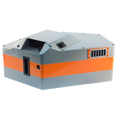
Specim’s AisaFENIX 1K, the full spectrum hyperspectral camera is an ideal solution for remote sensing of the environment and other aerial survey applications. The AisaFENIX 1K hyperspectral sensor with 1024 spatial pixels takes the productivity of hyperspectral imaging to an entirely new level. It produces the same top quality full spectrum hyperspectral data as does its forerunner, AisaFENIX and, at the same time, reduces the flight costs by 60%, because less flight lines are required.
Features:
- VNIR and SWIR wavelengths from 400 nm to 2500 nm
- Readily co-registered data with common front optics
- Excellent signal-to-noise ratio and stability
- Compact for installation on standard gyro stabilised standard airborne camera mounts, as well as turrets and medium-sized UAVs
- Supports 4 different GNSS/IMU systems
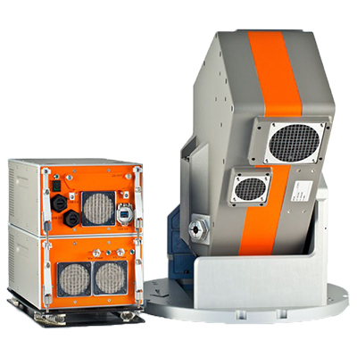
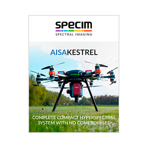
Specim’s AisaKESTREL, the first professional quality hyperspectral sensor range, intended for UAVs and other platforms of limited payload size. AisaKESTREL 10 (400 – 1 000 nm) and AisaKESTREL 16 (600 – 1 640 nm) are built to the same strictest data quality requirements as Specim’s world renowned AisaEAGLE and AisaFENIX sensors, using the experience gathered through 20 years of airborne hyperspectral remote sensing.
AisaKESTREL10:
- Spectral range: 400 – 1 000 nm
- F/#: F/2.4
- Smile / Keystone: < 0.5 pixels
- Signal-to-noise ratio (peak): 400 – 800
- Spatial resolution: 1 312 or 2 048 pixels
- FOV: 40°
- Total System Power (camera, GNSS/IMU, DPU) < 41 W
AisaKESTREL16
- Spectral range: 600 – 1 640 nm
- F/#: F/2.4
- Smile / Keystone: < 0.25 / < 0.5 pixels
- Signal-to-noise ratio (peak): 800
- Spatial resolution: 320 or 640 pixels
- FOV: 21.7° or 40°
- Total System Power (camera, GNSS/IMU, DPU): < 46 W
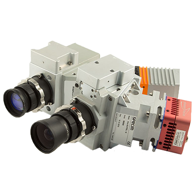
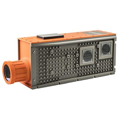
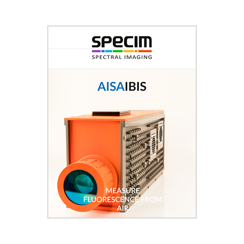
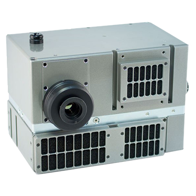
AisaIBIS a robust and very high spectral resolution hyperspectral imager for ground and airborne measurement of sun induced fluorescence from plants.
Specim created AisaIBIS together with Juelich Research Centre from Germany, as the Hyplant sensor, for the European Space Agency’s (ESA) Earth Explorer programme called FLEX. The project aims at providing global maps of vegetation fluorescence, which can be converted into an indicator of photosynthetic activity. AisaIBIS works as a precursor for a potential satellite instrument, and is used to produce airborne data for the development of fluorescence measurement.
AisaIBIS is designed to measure the sun induced fluorescence with the so-called Fraunhofer Line Depth Method. In this method the weak fluorescence signal is detected and quantified at the bottom of the two oxygen absorbtion lines in the specific spectral region of 670 – 780 nm. By applying Specim’s high light throughput (F/1.7) imaging spectrometer, and novel sCMOS camera technology, low noise, high dynamic range and signal-to-noise ratio are achieved with excellent spectral sampling (0.11 nm) and superb image quality even at the high image rate required in flight conditions.
